GEOGRAPHIC INFORMATION SYSTEM (GIS)
Geographic Information System (GIS) Services and Capabilities
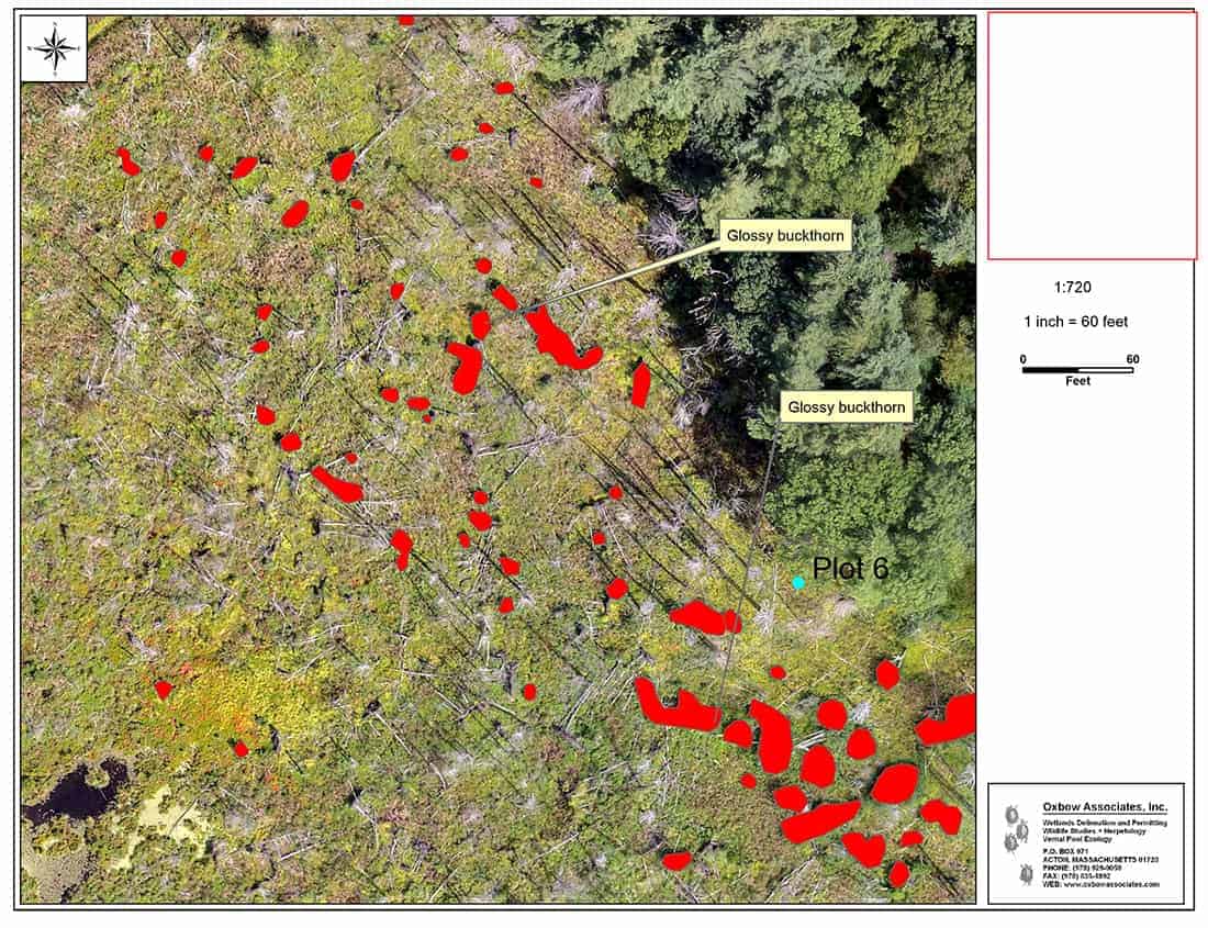
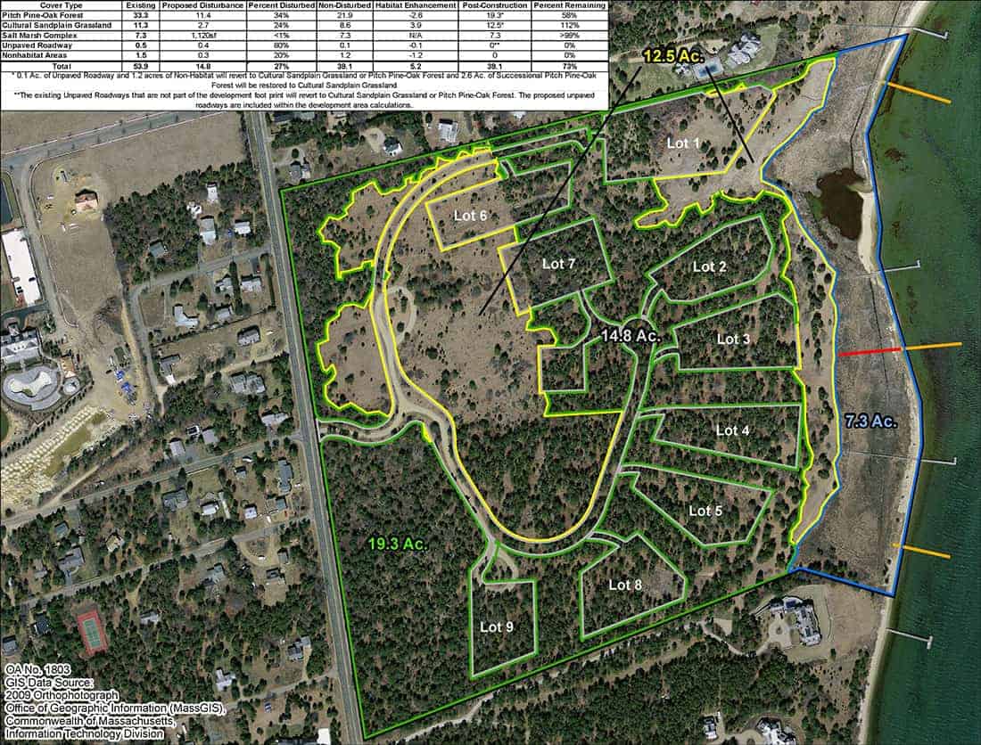
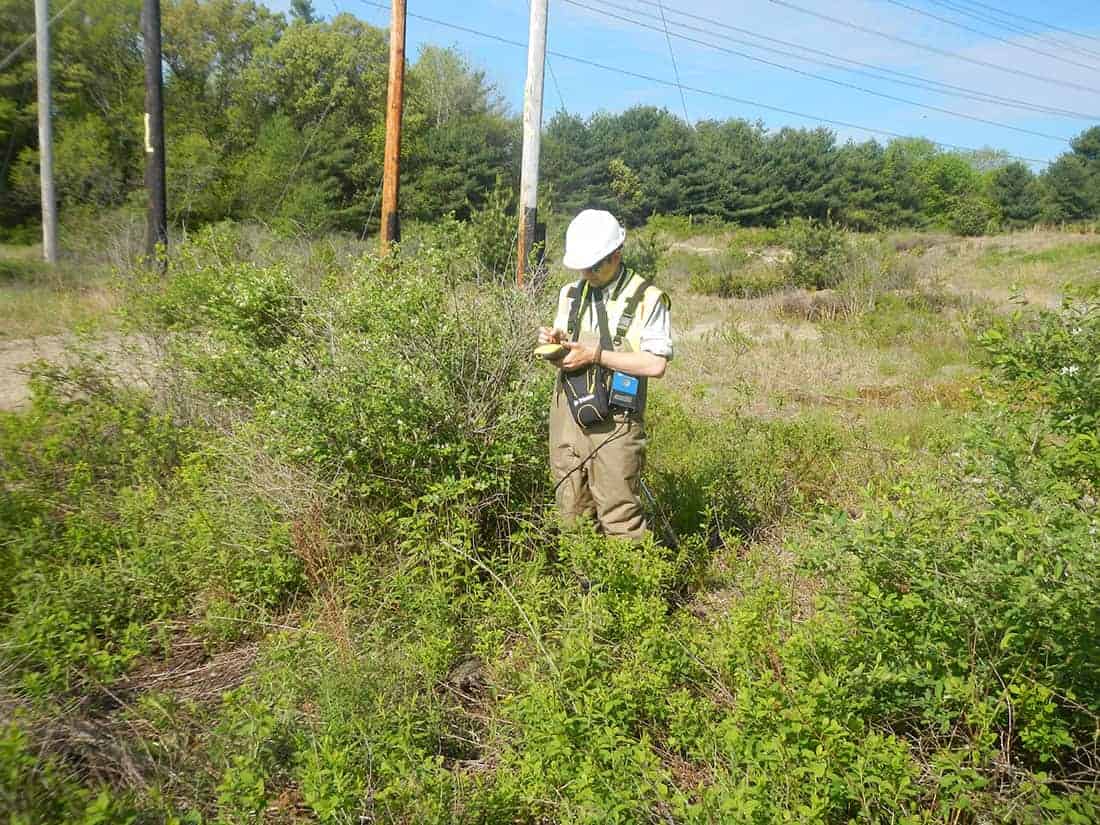
Oxbow can provide a variety of Geographic Information Systems (GIS) related services including site evaluations, cover type, terrain, and rare habitat mapping, AutoCad integration, spatial and data analysis, as well as in-the-field mobile data collection. Combining our knowledge and state-of-the-art hardware and software packages, we are able to integrate every important detail, creating easy to understand graphics to support both large and small projects. Oxbow has a fleet of Trimble GEO field units, ARCGIS © software, and a dedicated GIS server. We also have a small and growing fleet of drones (UAS) that can capture low-elevation aerial imagery that we integrate into real-time orthophotographic images. This method is economical enough to use on single family and small projects as well as large-scale landscapes. Using in-house ortho-imagery recent landscape changes and current cover types can be scrutinized with all attention focused on the area in question. Drones and GIS are now linked technologies. (see “Drone Services”)


